Rip-Rap
Large stone blocks called 'Rip-Rap' have been placed to armour and protect the widened river bank from erosion.
Amabel Dolostone
These rocks are called the Amabel Dolostone. Elsewhere this unit is the caprock of the Niagara Escarpment.
The Resevoir
This part of the Eramosa River is an artificial reservoir. The main role of the resevoir is to mitigate downstream flooding and manage river flows while creating a pleasant recreational space.
Karst
This wall does not display the semicircular drill-cut shape of the potholes but is instead an example of a karst landform. Karst topography forms when naturally acidic surface waters dissolve carbonate-rich rocks like limestone and dolostone. Over time, water filtering through cracks in the bedrock widen fissures and dissolve new pathways and caverns underground.
Caves
A series of 12 caves forms a network throughout the Rockwood Conservation Area and serves as an important bat habitat. These were formed by karstic dissolution of dolostone.
Potholes
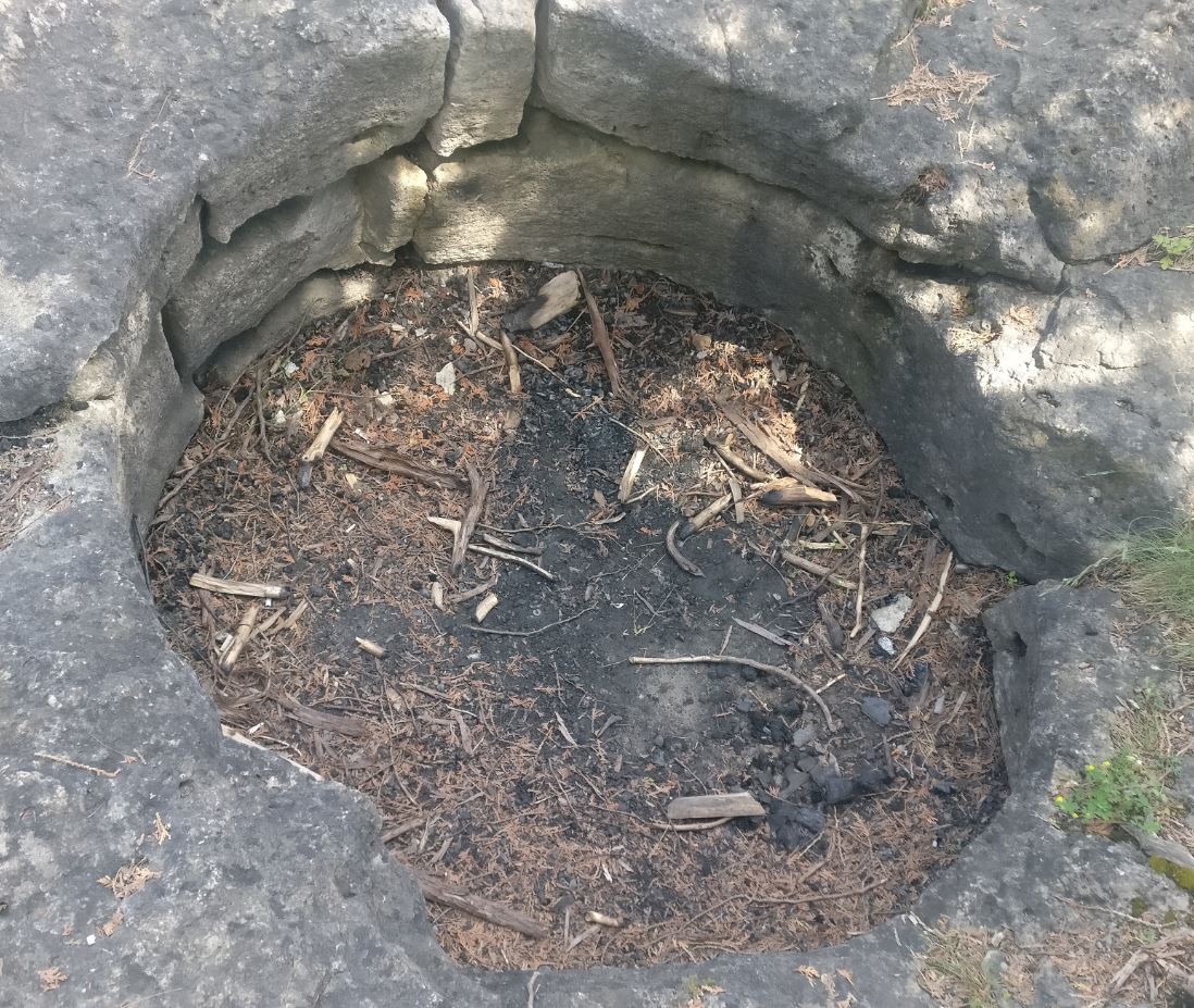
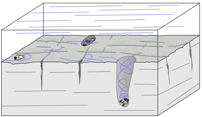
Potholes are a glaciofluvial bedform formed where turbulent subglacial or ice-marginal streams encounter bedrock. Hard debris like granite starts to spin and drill into the softer dolostone, carving out cylindrical shafts.
The Silurian
These rocks were formed about 400 million years ago in the Silurian Period when Ontario lay under warm shallow seas.
Drilling
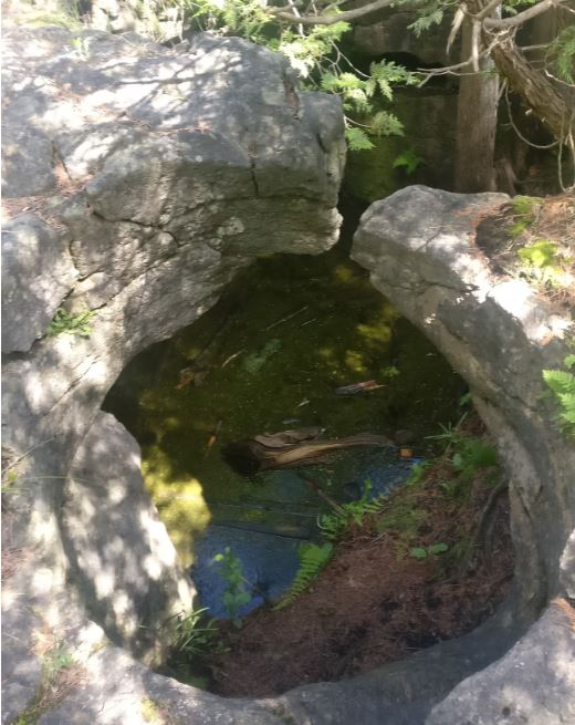
Potholes exploit pre-existing fractures and karstic dissolution cavities and therefore are found in clusters. This photo shows where one pothole instead of drilling straight downward curved under to join with the main valley system.
The Paleozoic Platform
Between about 500 million years ago and 350 million years ago, central North America was a low-relief surface located variably at or below sea level. Shallow seas covered the continent and sedimentary rocks were deposited in layers upon the ancient Precambrian basement. This fairly flat-lying stack of rocks is known as the Paleozoic Platform.
Eramosa River
The river is named after the Indigenous Mississauga word um-ne-mo-sah, meaning either "black dog" or "dead dog."
Deteriorating water quality
Water behind the Upper Dam is shallow and tends to heat up. Warm water contains less oxygen and contributes to deteriorating water quality.
Cobbles and Boulders
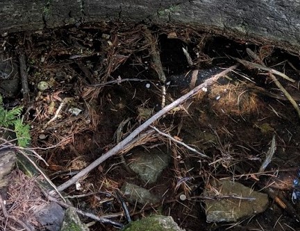
Look down into the bottom of the pothole. These angular rocks were not responsible for carving the pothole, but have instead fallen in recently. Excavations reveal a layer of rounded Precambrian cobbles. It is these hard stones that drilled into the bedrock.
Emarosa Valley
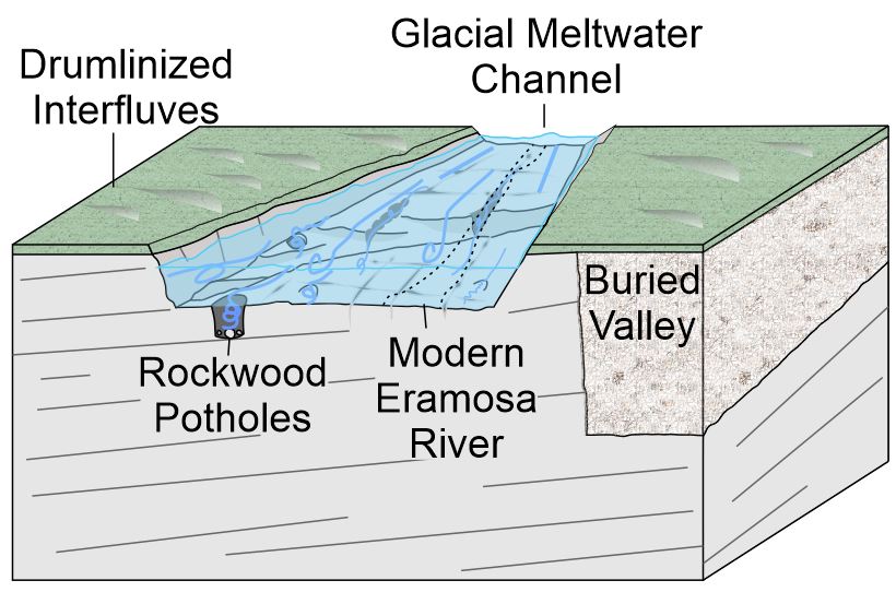
The Eramosa Valley is part of a series of deeply incised meltwater channels that drained the ice sheet both sub-glacially, and pro-glacially as the ice retreated.
Lower Dam
The Lower Dam, or South Dam, raises the level of the outlet for the Eramosa River, causing ponding of water and widening of the river behind it.
Joints
The high frequency of potholes along the Eramosa Valley is caused by the exploitation of pre-existing geometric cracks in the bedrock called 'joints' that were widened by the karstic dissolution of dolostone.
Bare Rock
Notice that there is no "till" or glacial sediment above the bedrock here. The lack of till may have helped the potholes to form by increasing the pressure of meltwaters. When till is present, it absorbs water and lowers the pressure within.
Fish of the Rockwood Resevoir
The resevoir a holds variety of fish including carp, bullhead, largemouth bass and smallmouth bass. Brown trout and rainbow trout are additionally stocked in the spring.
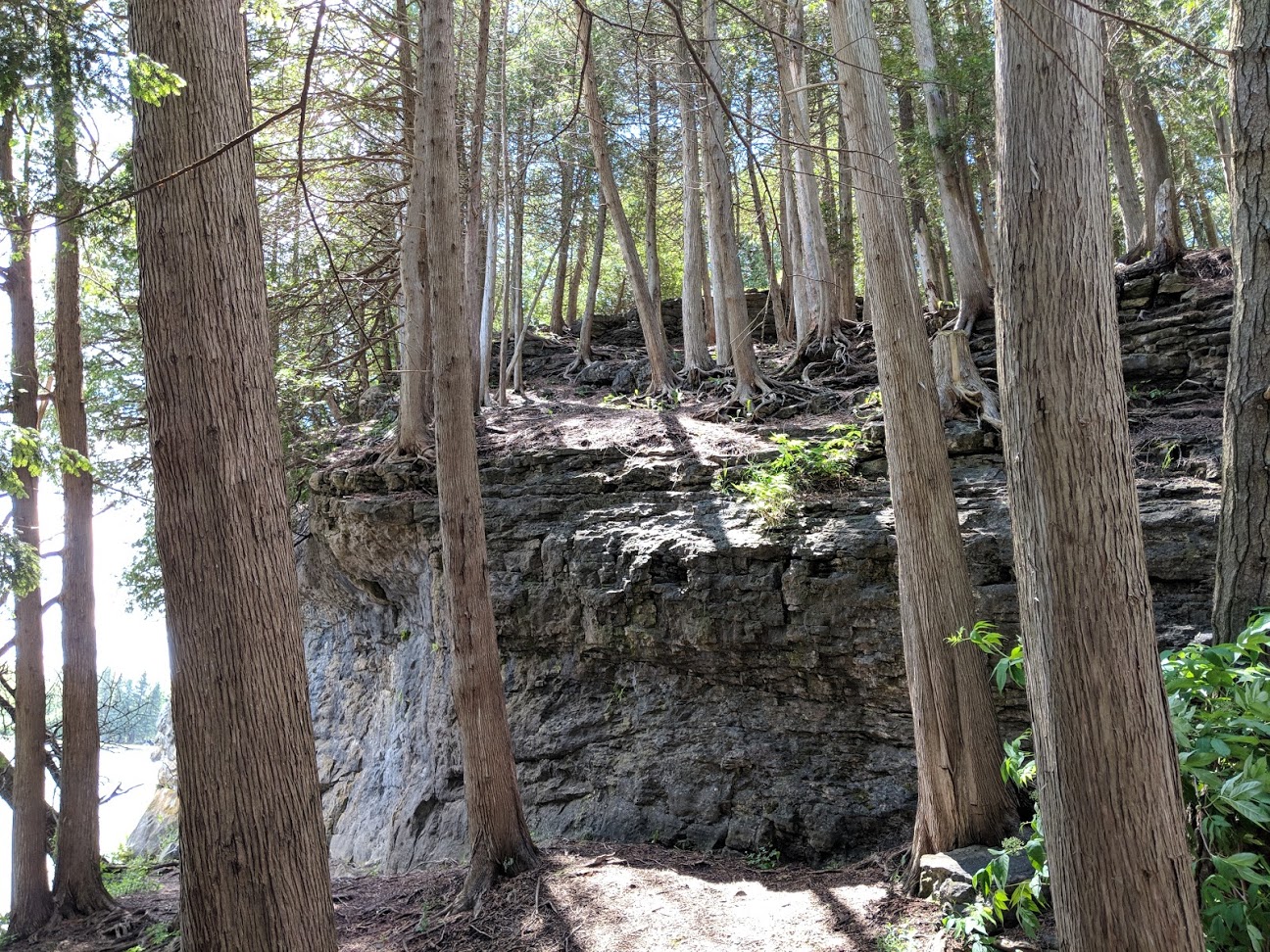
Forests
The thin basic soils developed upon the limestone bedrock support a community of eastern white cedar trees which cling to the rocks with their wide fibrous root system. Some trees here may be as much as 500 years old.
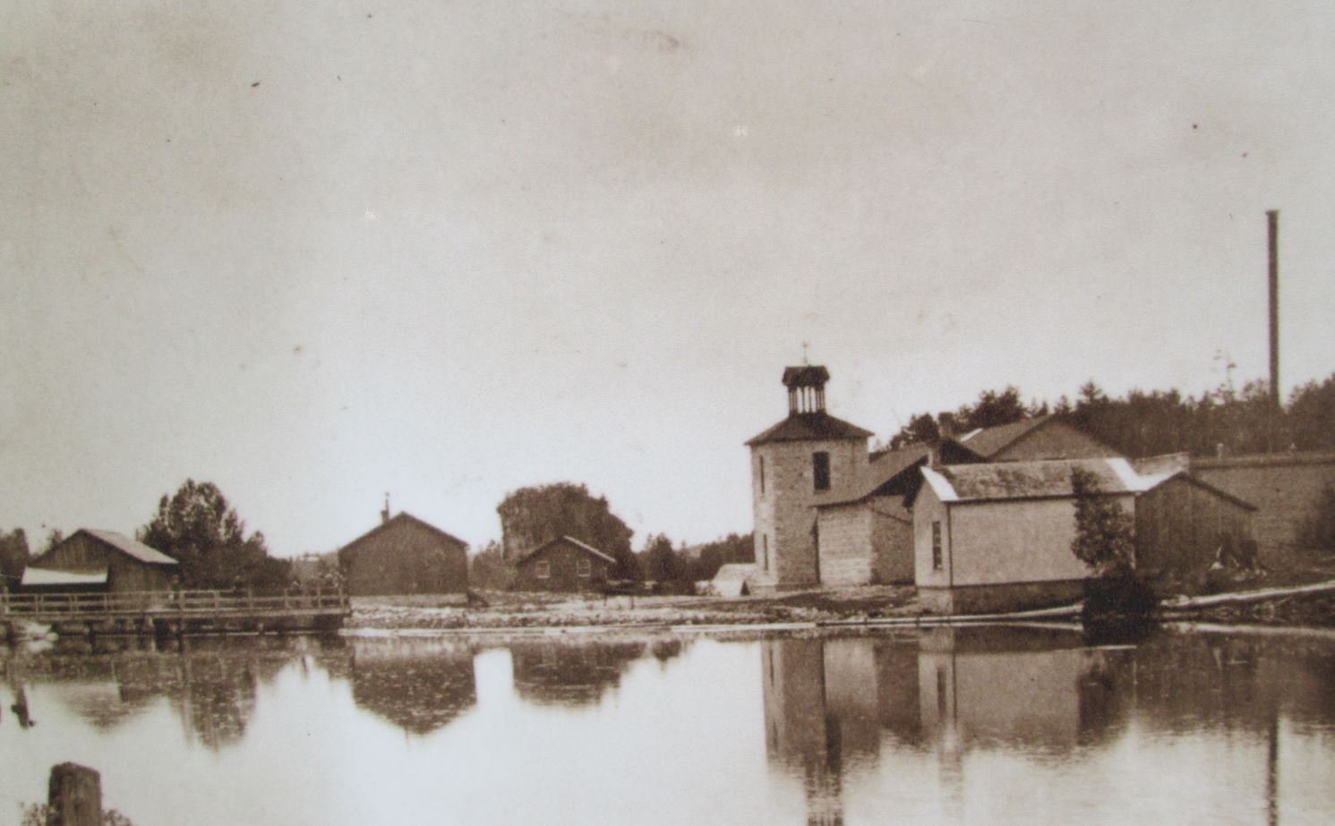
Restoration Work
The original wooden structure was destroyed by fire and rebuilt in stone in 1884. After closing in 1925, the machinery was removed and over time, the structure became ruinous. Conservation efforts to stabilize the structure include applying concrete to the upper wall surface to prevent water from permeating the stonework. This photo shows the mill as it appeared in 1890.
Introduction
Rockwood Conservation Area north of Guelph contains some of the largest potholes found in Ontario. They were formed some 12,000 years ago by high energy meltwaters draining from the last ice sheet. The largest is some 15 metres deep and some are as much as 10 metres wide.
Upper Dam
This dam was probably built in the 1860's in order to service the old Harris Mill.
Harris Woolen Mill
The Rockwood Woolen Mills were built in 1867 by Irish brothers John Richard, Thomas and Joseph Harris. The mills were powered by hydro, steam and the water of the Eramosa River. During the First World War, the mill produced vast numbers of Canadian Army blankets.


