Highs and Lows of the Grand River
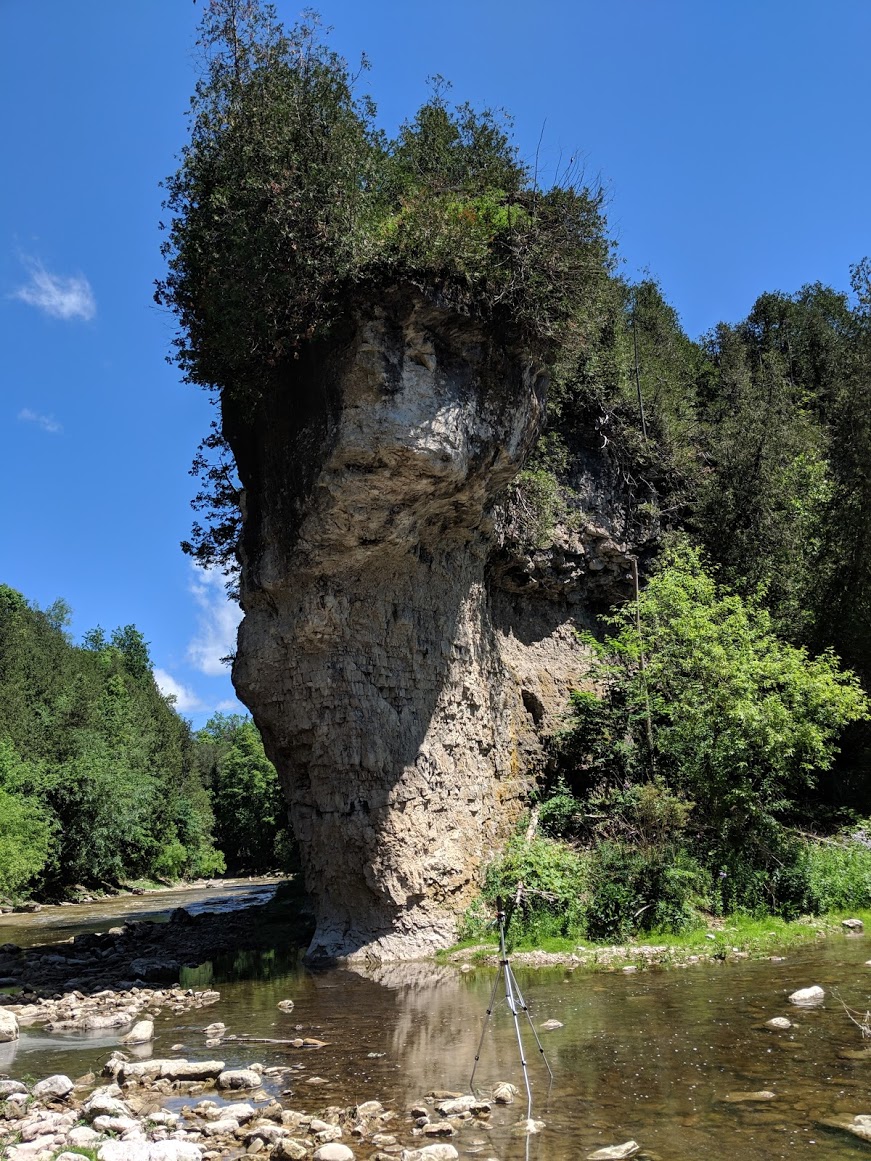
Notice how the bottom of this rocky column is narrower at the base than at the top. this is likely the result of undercutting.
Introduction
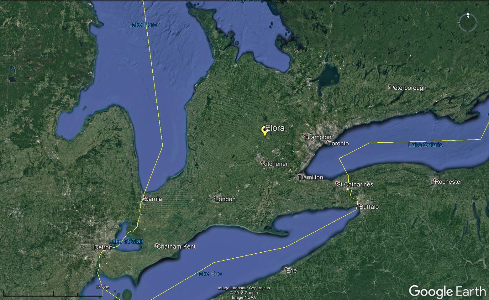
The spectacular canyon-like Niagara Gorge is not the only awesome gorge in Southern Ontario. The Grand River gorge at Elora some 20 kilometres north of Kitchener-Waterloo owes it's origins to the erosive effects of meltwaters that spilled out from the last ice sheet as it receded some 12,000 years ago.
nan
Here we are downstream of Elora Gorge. Notice how shallow the valley is compared to the deep gorge upstream. The upstream gorge is closer to the knickpoint, where there is a change in the slope of the landscape and a waterfall.
Elora Mill
Upstream from here, the five-storey original Elora grist mill (built in 1832) is still standing. This mill harnessed the power of the Elora River and evolved over the years from grist mill to saw mill to flour mill.
Are Brown Waters Bad?
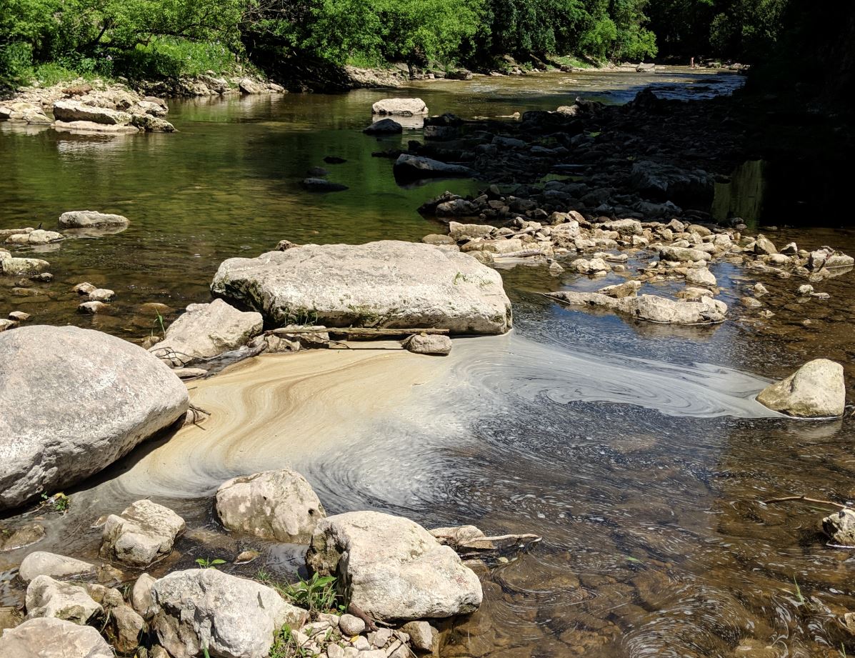
Though the brownish hue in the water looks unappealing, it is actually a sign of a healthy river and is made by dissolved organic carbon in the water.
Buried Valleys
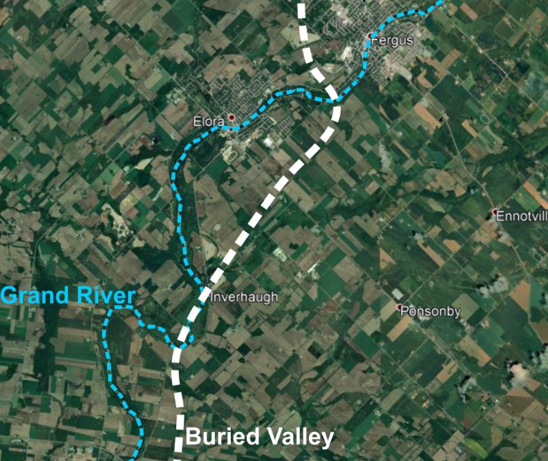
The present bedrock valley system is a great analogue for older, now buried, bedrock valleys that dissect the Paleozoic Platform. One such valley, some 60 m deep, once existed parallel to the modern Elora Gorge but is only known today because of water well data and geophysical studies. It may have been cut during the last interglacial period by headward river erosion, or by subglacial drainage underneath the last ice sheet. It was subsequently filled with glacial till and glaciofluvial sediment.
Historic Elora
In the 1850s and 1860s, Elora was a major agricultural marketplace due to manufacturing of goods on the Grand River. Many original stone buildings from the 1800s still make up the downtown village centre
The Paleozoic Platform
Between about 500 million years ago and 350 million years ago, central North America was a low-relief surface located variably at or below sea level. Shallow seas covered the continent and sedimentary rocks were deposited in layers upon the ancient Precambrian basement. This fairly flat-lying stack of rocks is known as the Paleozoic Platform.
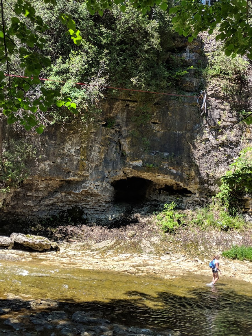
Caves
Numerous caves can be found lining the walls of Irvine Gorge. These are a 'karst' feature relating to the composition of the bedrock, which is made of dolostone and limestone. However, they are a testament to the power of glacial meltwaters which tore through these channels during deglaciation. They filtered along cracks in the sidewalls and hollowed out the caves.
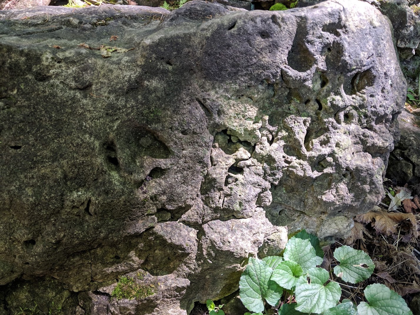
Irvine Gorge
The gorge cuts through tough Silurian dolostone of the Guelph Formation. Dolostone is similar to limestone and contains the remains of hard-bodied reef-forming organisms like stromatoporoids.
Hanging Ice Dams
In the winter, 'hanging dams' sometimes form on the valley walls. These can disrupt the river flow and greatly affect fish habitats.
The Grand River
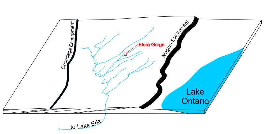
Most of the cutting of this channel, as well as the upstream gorge happened during deglaciation when large volumes of glacial meltwater were drained into the river system. Although headward (up-river) erosion continues today, it is at a much slower pace than during deglaciation.
nan
The Grand River drains the broad, flattish area on the 'back' of the Niagara Escarpment into Lake Erie. Many rivers in the watershed meander across sediment covered gently-dipping soft sedimentary strata, but where more resistant bedrock ledges crop out, deep gorges are carved.
Panoramic Pioneers
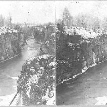
One notable resident of Elora, John R. Connon, was a pioneer in photographic technology. In 1886, Connon developed a camera able to capture a 360-degree panorama. He took many photos, including panoramic and stereoscopic photographs of southern Ontario and Elora in particular.


